“ATTENTION, Vienna!” – Meteorologists issue warning
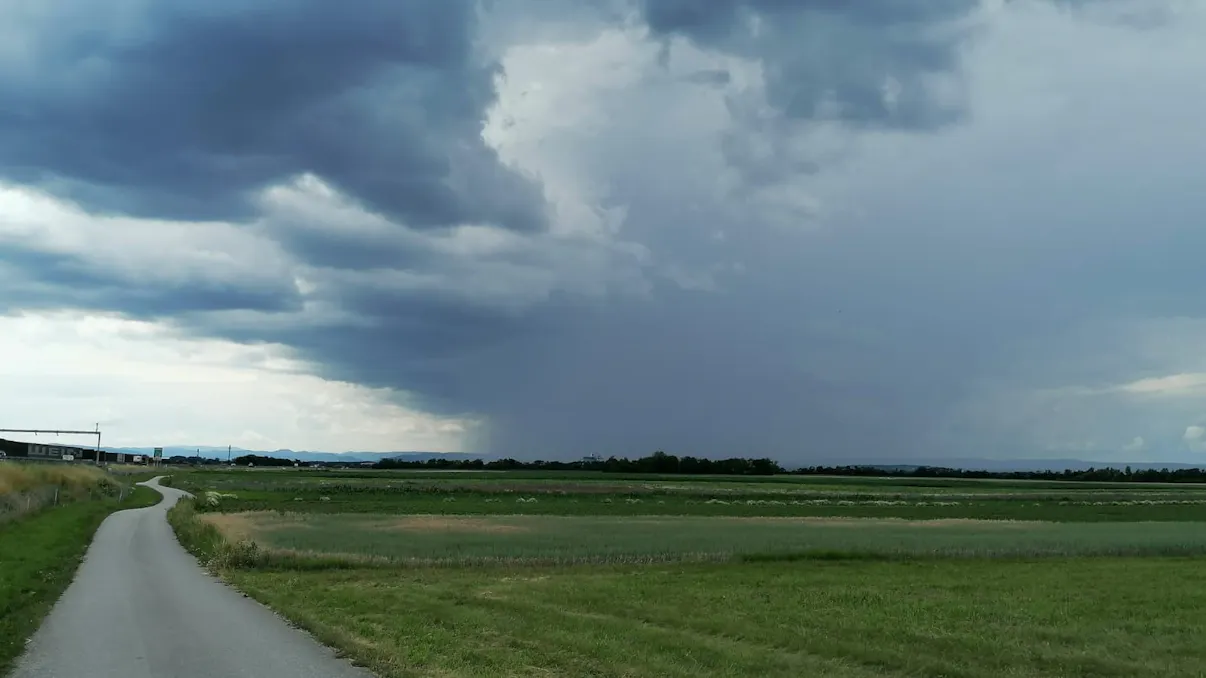
Vienna and Lower Austria are facing another round of severe weather after Thursday’s damaging storms. Meteorologists warn that a powerful pressure wave could bring storm-force winds to the region on Friday night.
Thursday’s severe weather brought strong winds, heavy rain and hail across Vienna and Lower Austria, causing widespread damage and keeping emergency crews busy. More thunderstorms are expected on Friday, particularly across northern Austria.
According to the Unwetterzentrale (Severe Weather Center), storm-force winds are the main concern. A pressure wave linked to the weather system is expected to spread toward eastern Austria and could temporarily produce strong winds even without a thunderstorm directly overhead.
Meteorologist Clemens Grohs of Kachelmannwetter issued a specific warning for Vienna. He said a significant pressure wave with storm gusts could reach the city at around 11 p.m. Winds of 75 to 95 km/h are possible depending on the location, while exposed areas of the Wienerwald could experience gusts close to 100 km/h.
The powerful winds could break branches and knock down trees, creating additional risks for people outdoors. Festival-goers at Frequency in St. Pölten have also been urged to exercise particular caution as the severe weather moves through the region.
Severe-weather warnings have been issued for northern Austria for Friday and the night into Saturday. Meanwhile, particularly intense thunderstorms are affecting southern Kärnten. The municipality of Eisenkappel-Vellach has been placed under the highest violet warning level, while surrounding areas are under a red warning.
Weather conditions vary sharply across Austria, with temperatures ranging from around 10°C in Schröcken in the Bregenzerwald to 29°C in sunny Güssing. Vienna was around 28°C, while rain was bringing much cooler conditions to Bregenz.
Conditions are expected to become calmer over the weekend. On Saturday, a high-pressure system moving in from the west will bring drier and cooler air, with temperatures generally between 19°C and 26°C. Sunday and Monday should remain mostly settled, although isolated showers and thunderstorms could still develop in mountainous areas.
The next significant change is expected on Tuesday, when a warm front from a low-pressure system over the Bay of Biscay approaches from the west. Temperatures could rise as high as 31°C, while showers and thunderstorms become more likely, particularly across western mountainous regions.