BRIN and ESRI Indonesia Explore Cooperation on Geospatial Technology Utilization
Published
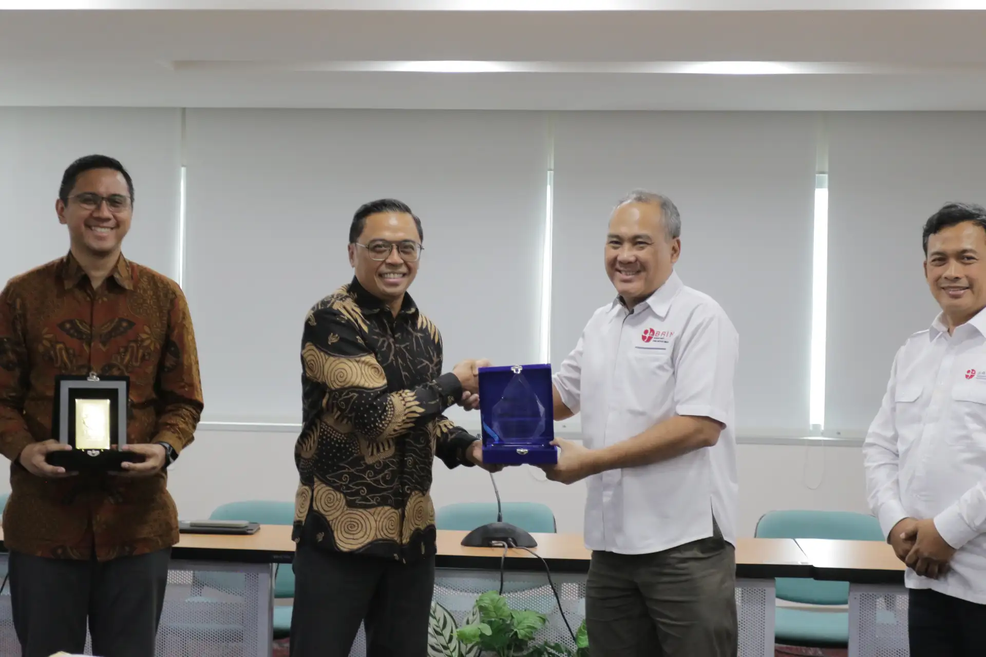
The National Research and Innovation Agency (BRIN) and ESRI Indonesia are exploring more concrete opportunities for cooperation in the field of geospatial technology. This step aims to strengthen the research ecosystem in Indonesia.
The collaboration is directed at integrating national research capabilities with the geospatial technology and services of ESRI Indonesia. Geospatial technology is technology used to collect, store, and analyze data related to locations on the Earth's surface. This technology is widely used in regional planning, environmental monitoring, and natural resource management.
With this cooperation, Indonesian researchers are expected to be able to utilize more comprehensive geospatial tools and data to support their research. Collaboration between government research institutions and technology companies may also open opportunities for knowledge exchange and capacity development within the country.
Until now, the full details regarding the form of cooperation and the programs to be implemented are still at the exploration stage. Further developments from both parties will determine how this collaboration proceeds in the future.
Sources: Badan Riset dan Inovasi Nasional
More Indonesia news
- Huawei Watch D3 Launches in Indonesia on 19 November 2026
- Riau Islands Becomes Indonesia's Most Digitally Connected Province in 2025
- Indonesia's Digital Economy Potential Reaches USD 365 Billion, Government Strengthens AI Infrastructure
- Developing Chip Technology Requires the Support of Indonesia's Semiconductor Talent
- Giring Ganesha Leaves PSI, Party Says Political World Is Full of Change
- PT Rans Animasi Indonesia Wins Influencer Contract Worth Rp14.7 Billion from Two Ministries
- Indonesia Surrounded by Sea, But Port Investment Remains Limited
- Sanur SEZ Records 36,798 Patient Visits, Strengthens National Health Tourism