New National Map Highlights Ireland’s Coastal Risks
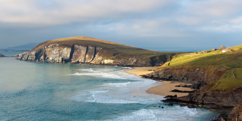
Researchers at University College Cork have released the first national map showing which parts of the Irish coastline are most at risk from erosion and flooding. This project provides a detailed picture of how the country’s edges are changing due to environmental factors.
Coastal erosion happens when waves and wind slowly wear away the land, while flooding occurs when sea levels rise or storms push water onto the shore. By identifying the most vulnerable areas, the new map helps experts understand where the land is disappearing fastest.
This research is a significant step for Ireland, as many communities live near the sea. Having a clear national map allows the government and local councils to plan better for the future. It helps them decide where to build new defenses and how to protect homes and businesses from the power of the ocean.
As climate change continues to impact weather patterns, understanding these risks becomes even more important. The data will be used to create strategies that keep coastal towns safe and preserve Ireland's beautiful landscape for years to come.