Electromagnetic fields in Italy: a new digital map to monitor the territory
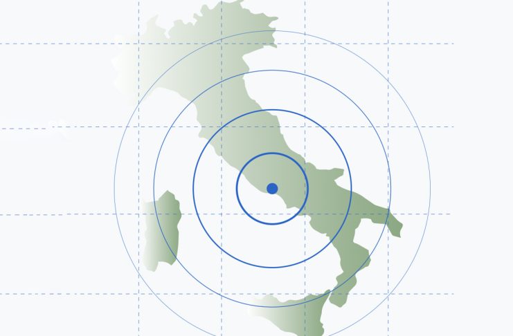
A new digital map has recently been published that allows for the visualization of electromagnetic field estimates across the entire Italian territory. This technological tool offers citizens the ability to consult, area by area, the exposure levels linked to telecommunications infrastructure, such as mobile phone antennas.
The initiative stems from the need to make environmental data more accessible and transparent for the population. Through an intuitive online platform, users can enter their address or navigate the map to observe estimates related to their area of residence or work. The project is based on complex mathematical models that analyze the propagation of radio signals based on the location of base transceiver stations.
Experts emphasize that these maps represent a theoretical estimate and not a direct measurement taken in the field. However, the tool is useful for obtaining a general overview of the distribution of technological infrastructure in the country. The competent authorities continue to monitor compliance with legal limits, which in Italy are among the strictest in Europe regarding the protection of public health.
Consulting the map is free and open to everyone. The main objective is to provide clear information at a time when the 5G network is expanding rapidly in many Italian cities, bringing with it new needs for infrastructure management and information for citizens.
In conclusion, this digital resource represents a step forward toward greater technological awareness. As the country's digitalization continues, tools of this kind help maintain a balance between the development of communication networks and transparency toward citizens regarding the environment in which they live.