New Zealand Mapping App Offers New Tool for Farm Safety
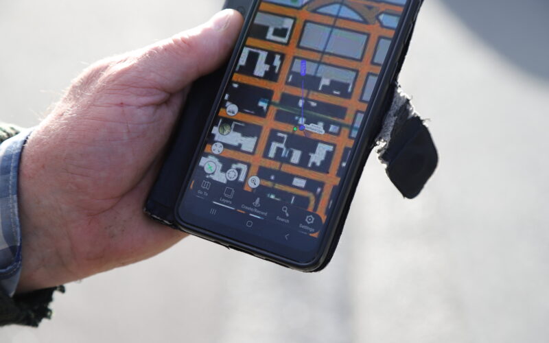
A popular New Zealand topography map application is introducing a new feature designed to help farmers monitor hunters on their private land. The Topo50 app, which is widely used by outdoor enthusiasts across the country, aims to improve communication and transparency between landowners and those visiting their properties.
For many farmers, managing access to their land is a significant safety concern. By using the digital mapping tools, landowners can now better track where hunters are located. This technology helps ensure that both farmers and visitors are aware of each other's positions, reducing the risk of accidents during the busy hunting season.
Beyond safety, the app is expected to simplify the process of granting permission for land access. Farmers can use the digital interface to clearly define boundaries and share information with hunters before they arrive. This creates a more organized system for managing rural properties and helps build better relationships between the farming community and the public.
As technology continues to play a larger role in land management, this update represents a practical step forward for rural New Zealand. By combining traditional topography maps with modern tracking capabilities, the app provides a simple solution to a long-standing challenge for those living and working on the land.